
Applanix POSPac MMS® and Go!®: Hydrographic Data Processing Software
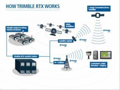
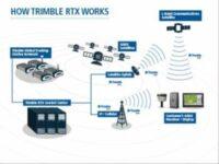
► Post-Processed Trimble CenterPoint
RTX trajectory processing (PP-RTX)
► Automatic base station survey using
static PP-RTX
► “Know before you go” Quality Control
licenses for checking GNSS data in the Field, ensuring accuracy specifications
are met before leaving the project area
► New Floating license support – share
a single license across a network or
between computers
► New User Interface
► 64-bit processing for faster throughput
► Windows 10 support
► RTCM 3.2 support
► SmartBase database update
Features
Applanix POSPac® Mobile Mapping Suite, now with Applanix POSPac Trimble Post-Processed CenterPoint® RTX™ (PP-RTX®), is the next generation, industry-leading software for Direct Georeferencing of mobile mapping sensors using GNSS and inertial technology. It is optimized for all environments and platforms (air, land, marine) and compatible with a variety of mapping sensors. This smart software solution achieves both maximum accuracy and maximum efficiency for Direct Georeferencing.
Specifications
| AVAILABILITY |
|---|
Each POSPac Go! subscription comprises a single seat floating licence and an authorization code for the associated
POS MV system, to be used as a pair.
operates on a PC running Windows 10 with a minimum of 2 GB RAM and 3 GB free hard disk space
Applications
Hydrographic survey
Seafloor mapping
Harbour mapping
-

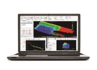
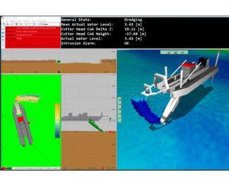
HYPACK HYSWEEP®: Data Collection and Processing Software for Multibeam Sonar and Lidar Systems
Survey Equipment -

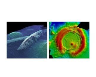
Teledyne CARIS HIPS and SIPS™: Hydrographic Data Processing Software
Survey Equipment -

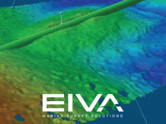
Eiva NaviSuite Nardoa
Survey Equipment -
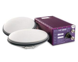
Coda Octopus F180® Series: Attitude and Positioning System
Survey Equipment -
QPS Qinsy: Survey Planning, Acquisition and Processing Software
Survey Equipment -

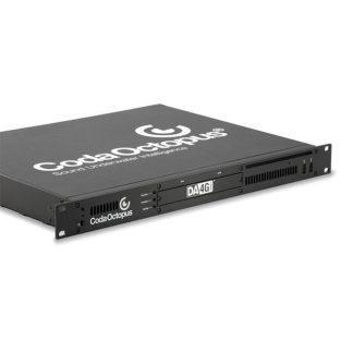
CodaOctopus DA4G™: Acquisition System
Survey Equipment -
Sonardyne Compatt 6G®
Survey Equipment -

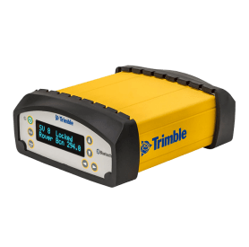
Trimble SPS855/852: GNSS Modular Receiver
Survey Equipment